Virtual Rain Gauge Map
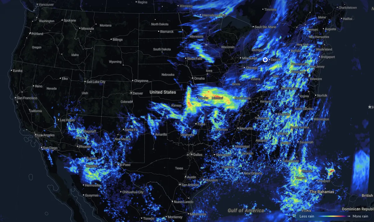
Measured from radar and rain gauges by Precip.
Thu, Nov 12 total: 0.00"
Totals are for the center of Dakota County, MN — open the free Precip app or pan the radar map below for your exact address.
The Precip app measured 0.00" of rain in Dakota County, MN over the last 24 hours and 0.00" over the past 7 days. So far in 2026, Dakota County, MN has received 26.52" of rain , 12.7% below average (normal to date: 30.36").
No measurable rain in Dakota County, MN on any of the last 7 days
Accumulated monthly rainfall compared to 30-year normal averages
| Month | 2026 Total | 30-Yr Normal | vs. Normal |
|---|---|---|---|
| January | 1.13" | 0.85" | +0.27" (+32%) |
| February | 0.91" | 0.82" | +0.10" (+12%) |
| March | 2.21" | 1.68" | +0.52" (+31%) |
| April | 3.43" | 2.84" | +0.59" (+21%) |
| May | 1.53" | 4.25" | −2.72" (−64%) |
| June | 4.06" | 4.89" | −0.83" (−17%) |
| July | 3.88" | 4.14" | −0.26" (−6%) |
| August | 0.56" | 4.42" | −3.85" (−87%) |
| September | 4.19" | 3.30" | +0.89" (+27%) |
| October | 2.66" | 2.57" | +0.09" (+4%) |
| November (to date) | 1.96" | 0.60" | +1.36" (+226%) |
| 2026 YTD Total | 26.52" | 30.36" | −3.85" (12.7% below average) |
Get hyper-local alerts, save unlimited locations, and unlock deeper history in the Precip app.

