
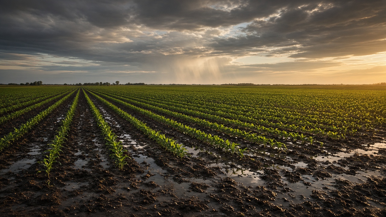
As a farmer you care about actual field conditions, not just what’s in the forecast. The decisions that matter (plant, spray, irrigate, cut, harvest) often hang on how much water actually hit each field, or whether the ground itself is warm enough. Precip was built for those questions at the fields you farm, not the nearest NWS station.
Rain at the field, not the airport
Not all shower hit your fields evenly. We often see meaningful differences in rainfall totals just a mile or two down the road. If you’re fields are spread out, Precip is a great tool for knowing which one got the rain and which ones are still dry.
Airport gauges and county averages smear those differences. Precip’s rainfall map and recent totals measure rain in granular detail, so you can see how much your field got. The recent rain view shows the last event, how large it was, and when it ended.
Soil moisture levels based on your actual soil types
Rainfall is the input. Root-zone soil moisture is what’s available to the plant.
Relative soil moisture in Precip runs from wilting point (0%) to saturation (100%) in the root zone, so you can compare a sandy ridge to a heavy bottom without translating textures in your head.
The ponding and saturation-depth layers flag where water is sitting. That is the difference between “it rained an inch” and “the low corner is still under water.”
Soil temperature sets planting
Air temperature on a phone is a poor proxy. Seed sits in the root zone.
Typical windows growers use (root-zone soil, not air):
- Corn: often when root-zone temperatures hold around 50°F and are trending up.
- Soybeans: a bit warmer, commonly 55–60°F.
- Side-dress, spraying, and disease: warmer, wet root zone after a rain is a different risk than the same rain on cold ground.
Precip’s soil temperature layers report the root zone at 0–10 cm and 10–40 cm, updated hourly. The shallow root zone is the one that matches most planting and germination calls. Pair it with root-zone moisture so you are not planting into cold mud or skipping a field that is already fit.
Precip vs. a typical weather app
Consumer weather apps are built to forecast a city. Farming runs on what already fell on a field and what is still in the root zone.
| What you need to know | Typical weather app | Precip |
|---|---|---|
| Rainfall location | Nearest airport or city station, often 10+ miles away | Roughly 1 km grid estimate at the field you saved |
| How much rain fell | Today’s total, if any | 12h, 24h, 48h, and 7-day totals, plus full history |
| Last rain event | Not shown | Amount and the hour it ended |
| Root-zone soil moisture | Not available | Relative (wilting point to saturation) and absolute |
| Root-zone soil temperature | Not available | 0–10 cm and 10–40 cm, updated hourly |
| Standing water | Not available | Ponding depth and saturation depth layers |
| Alerts | Generic city forecast or severe weather | Your own rain, temperature, and wind thresholds per field |
| Incoming rain | Radar you have to read yourself | Push alert when a shower is moving toward you |
| Multiple fields | One or two saved cities | Every field saved, sorted by rainfall, moisture, or last rain |
| Records | None | Hourly to monthly exports, charts, and 30-year normals |
Check the fields you actually farm
Save each field as a location. From there you can, without guessing from town:
- Read how much rain fell over 24 hours, 48 hours, and 7 days.
- See when it last rained and how large that event was.
- Check root-zone soil temperature (0–10 cm).
- Confirm root-zone moisture and ponding before you pull a planter or sprayer.
- Set a rain or temperature threshold alert so you hear about a soak or a cold snap instead of refreshing the map.
Drop a pin on a new farm, save it, and it becomes another field you can compare. The same location page works on your phone from the cab.
Bonus: finish the job before it rains
Rain that already fell is what the crop uses. Rain that is about to hit you is a ruined spray, wet hay, or a planter stuck in the headland. Turn on Precip’s incoming rain alert and you get a push when a shower is moving toward your current location, with enough lead time to finish the pass or get the equipment home.
Common questions
How accurate is Precip’s rainfall compared to a rain gauge?
Precip estimates rainfall on a roughly 1 km grid from radar, gauges, and models, so it captures the difference between two fields a few miles apart that a single airport station averages away. Growers commonly use it in place of checking gauges across scattered farms.
Can I see how much rain a specific field got?
Yes. Save the field as a location and read its 12-hour, 24-hour, 48-hour, and 7-day totals, plus the last rain event and full history for that point.
What soil temperature does Precip show for planting?
Root-zone temperature at two depths, 0–10 cm and 10–40 cm, updated hourly. The shallow root zone is the one most growers watch for corn and soybean planting windows.
Does Precip work for multiple farms?
Yes. Save every field, then sort the list by rainfall, last rain, soil moisture, temperature, or wind to see which farms need attention first.
Can I get an alert when a field hits a rainfall threshold?
Yes. Threshold alerts fire when measured or forecast precipitation, temperature, or wind crosses the amount you set over a 12-hour, 24-hour, or 7-day window, by push or email.
Generic weather apps optimize for cities and “will I need a jacket.” Farming needs rain that already happened, moisture still in the root zone, and soil temperature at the field. Precip gives you all three.