Snowfall Map
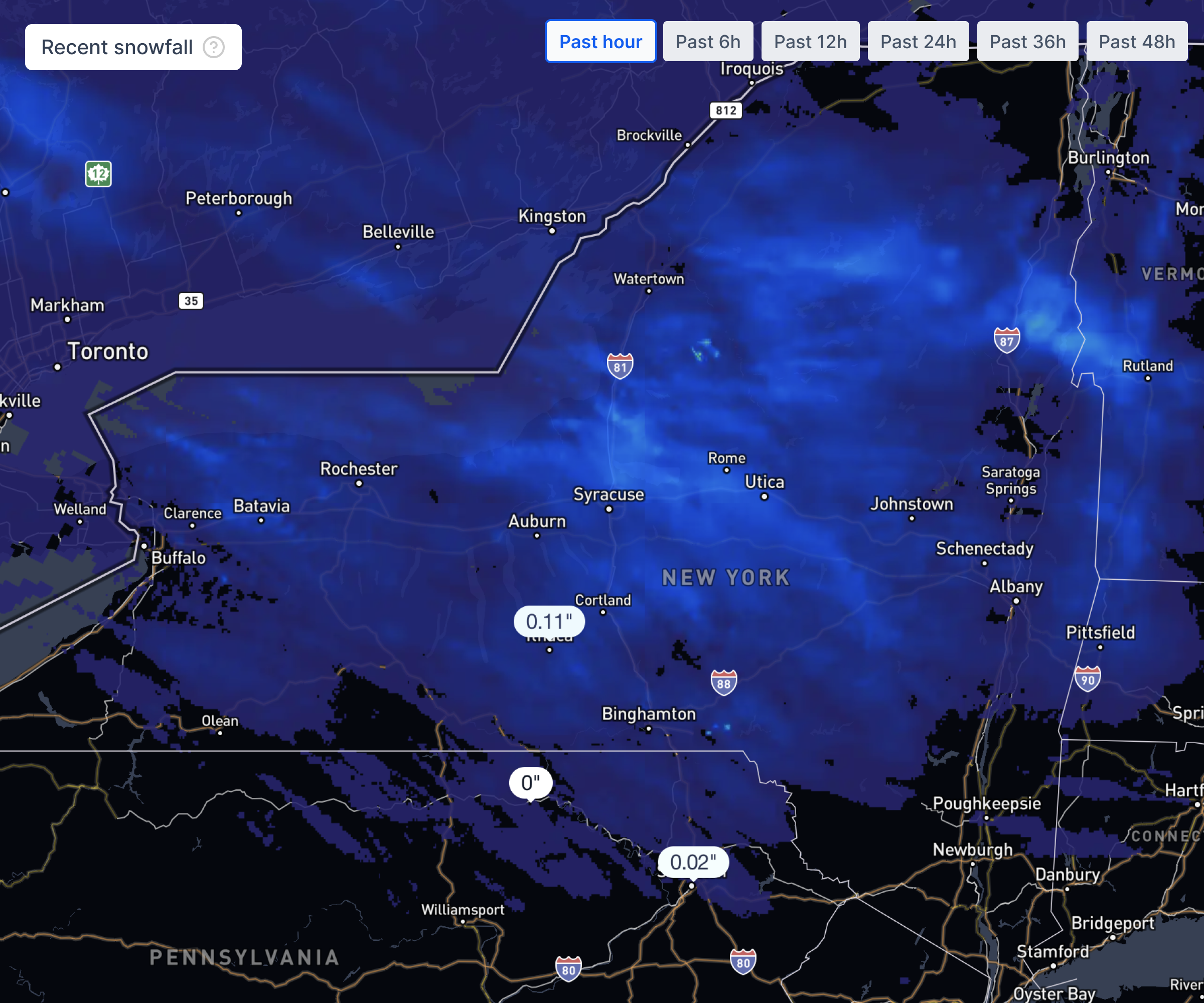
Next-24-hour and 7-day snowfall forecast from Precip.
Snow is in the forecast for Sharon Springs, NY 13459 in the next 24 hours: 0.1" expected, with a peak hourly chance of 31%.
Peak hourly snow chance: 31% · Snow-to-liquid ratio: 10:1
Forecast is for the center of Sharon Springs, NY 13459 — open the free Precip app or pan the map below for your exact property.
Yes — snow is in the forecast for Sharon Springs, NY 13459. The Precip app forecasts 0.1" of snow over the next 24 hours (snow-to-liquid ratio: 10:1, peak probability: 31%) and 0.0" over the next 7 days.
3-hour forecast windows with expected snow accumulation and precipitation probability
Benchmarked #1 10-day forecast (winning 72 of 75 NOAA station tests vs. ECMWF & Google WeatherNext 3)
| Day | Expected Snow | Chance | High / Low |
|---|---|---|---|
| Sunday, Nov 15 | 0.0" | 6% | 39° / 33°F |
| Monday, Nov 16 | 0.0" | 1% | 44° / 34°F |
| Tuesday, Nov 17 | 0.0" | 1% | 50° / 34°F |
| Wednesday, Nov 18 | 0.0" | 1% | 55° / 35°F |
| Thursday, Nov 19 | 0.0" | 1% | 59° / 33°F |
| Friday, Nov 20 | 0.0" | 1% | 59° / 44°F |
| Saturday, Nov 21 | 0.0" | 2% | 61° / 37°F |
| Sunday, Nov 22 | 0.0" | 12% | 59° / 42°F |
| Monday, Nov 23 | 0.0" | 18% | 49° / 40°F |
| Tuesday, Nov 24 | 0.0" | 16% | 41° / 32°F |
Pin a job site in the app and export a branded PDF. Professional includes 10,000 export credits per seat per year.