Virtual Rain Gauge Map
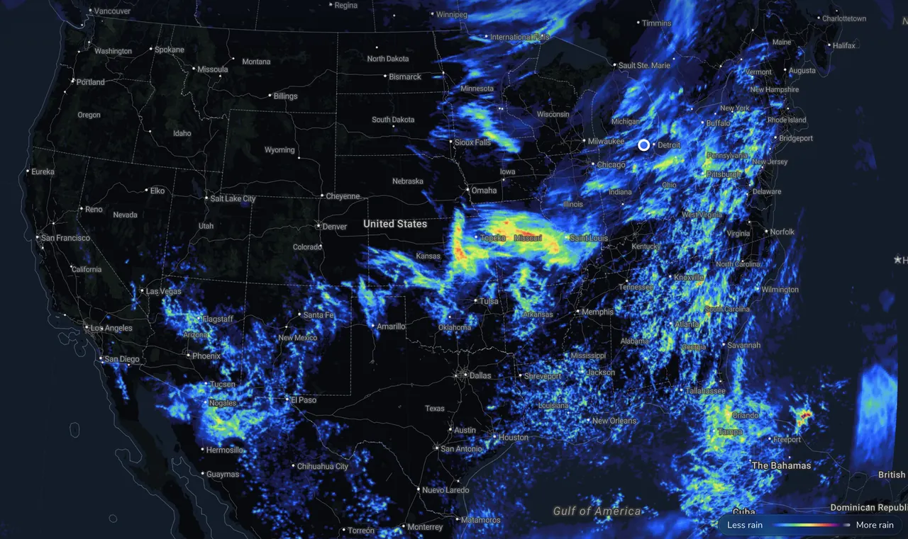
Measured from radar and rain gauges by Precip.
Fri, Nov 13 total: 0.02"
Totals are for the center of West Rutland, VT — open the free Precip app or pan the radar map below for your exact address.
The Precip app measured 0.02" rain + 1.0" snow in West Rutland, VT over the last 24 hours and 0.78" over the past 7 days. So far in 2026, West Rutland, VT has received 37.57" of rain , 3.2% above average (normal to date: 36.40").
Observed 24-hour daily precipitation totals measured by Precip
Accumulated monthly rainfall compared to 30-year normal averages
| Month | 2026 Total | 30-Yr Normal | vs. Normal |
|---|---|---|---|
| January | 1.93" | 2.77" | −0.84" (−30%) |
| February | 1.17" | 2.39" | −1.23" (−51%) |
| March | 4.27" | 3.04" | +1.23" (+40%) |
| April | 3.08" | 3.31" | −0.23" (−7%) |
| May | 5.30" | 3.56" | +1.74" (+49%) |
| June | 7.85" | 4.30" | +3.55" (+82%) |
| July | 4.99" | 4.24" | +0.75" (+18%) |
| August | 2.81" | 3.86" | −1.05" (−27%) |
| September | 3.03" | 3.48" | −0.45" (−13%) |
| October | 1.88" | 4.14" | −2.25" (−54%) |
| November (to date) | 1.26" | 1.30" | −0.04" (−3%) |
| 2026 YTD Total | 37.57" | 36.40" | +1.17" (3.2% above average) |
Get hyper-local alerts, save unlimited locations, and unlock deeper history in the Precip app.

