The Simple Answer:
1 inch of rain equals 10 inches of snow
Traditionally, it’s been estimated that 1 inch of rain equals 10 inches of snow, known as the 10:1 snow ratio. This serves as a general guideline but doesn’t account for varying atmospheric conditions and should only be used as a rough estimate for snow conversion. In reality you are likely to see values ranging from 6” to 18” depending on how warm the air was during the snowfall event.
Factors Influencing Snowfall Depth
-
Temperature Profile in the Atmosphere: Snow forming under relatively warmer conditions near the ground (close to 32°F/0°C) is often heavier and denser, resulting in a lower snow ratio (e.g., 8:1). Conversely, very cold conditions (well below freezing) usually produce drier, powdery snow that stacks up more inches per unit of water (e.g., 15:1 or higher). The temperatures at different altitudes will also influence the type of snow crystals that form. When temperatures at higher levels of the atmosphere are very cold, dendritic (branching, airy) crystals that hold more volume per unit of water can develop.
-
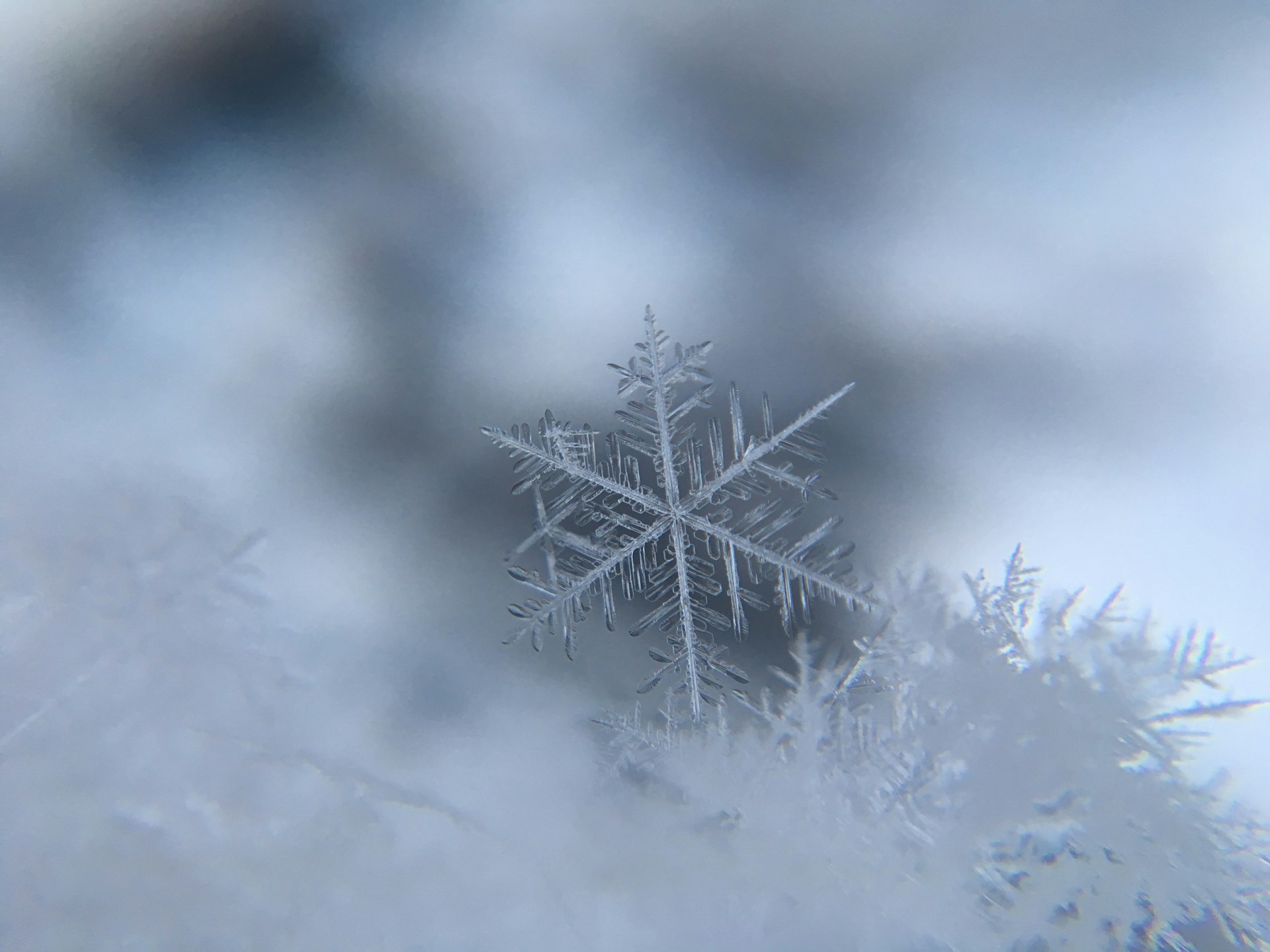
Snow Crystal Type and Shape: Depending on temperature and humidity, snow can form as delicate dendrites, columns, plates, or needles. Large, branching dendrites, often produced in a particular temperature range (around -12°C to -18°C aloft), trap more air and accumulate more volume for the same amount of water, leading to higher ratios.
-
Atmospheric Humidity and Moisture Content: The saturation level of the air influences how snow crystals grow. Air with high moisture content can lead to bigger, fluffier flakes that increase the depth of snowfall. Drier conditions may create smaller, less airy flakes that compact more efficiently, reducing the snowfall per unit of water.
-
Vertical Motion in the Atmosphere: Strong upward motion (lift) in the atmosphere can enhance snow crystal growth and lead to more efficient conversion of water vapor into larger, airy snowflakes. This often produces higher snow-to-water ratios.
-
Wind and Blizzard Conditions: Wind can compact snow as it falls or after it accumulates on the ground. Blowing snow and drifting can alter apparent depths and densities, indirectly influencing the measured ratio after the fact.
-
Warm Layers in the Atmosphere (Mixed-Phase Conditions): If there is a layer of warmer air above the surface that partially melts snowflakes before they refreeze, the resulting “sleetier” precipitation often leads to a denser snowpack with lower ratios.
Calculating Snowfall from Rainfall
To calculate snow conversion from a given amount of rain:
-
Determine the Temperature: Obtain the current or forecasted temperature during the snow event.
-
Select the Appropriate SLR: Based on the temperature, choose the corresponding hourly snow ratios.
-
Apply the Formula: Multiply the rainfall amount by the SLR to estimate snowfall depth.
Utilizing Precip to see how much it rained or snowed
If you’d like to learn more about how the Precip calculates snowfall totals, head on over to our detailed blog post here: https://precip.ai/blog/how-snow-totals-get-calculated/
To quickly lookup recent snow totals by zip code we built a tool here: https://precip.ai/snow-totals/zipcode/.
Conclusion
While the 10:1 ratio can be used as a general rule, actual snowfall from a given amount of rain depends on multiple factors, especially temperature and snow density. Using more advanced methods that take temperature and humidity into consideration can lead to more accurate estimates.

