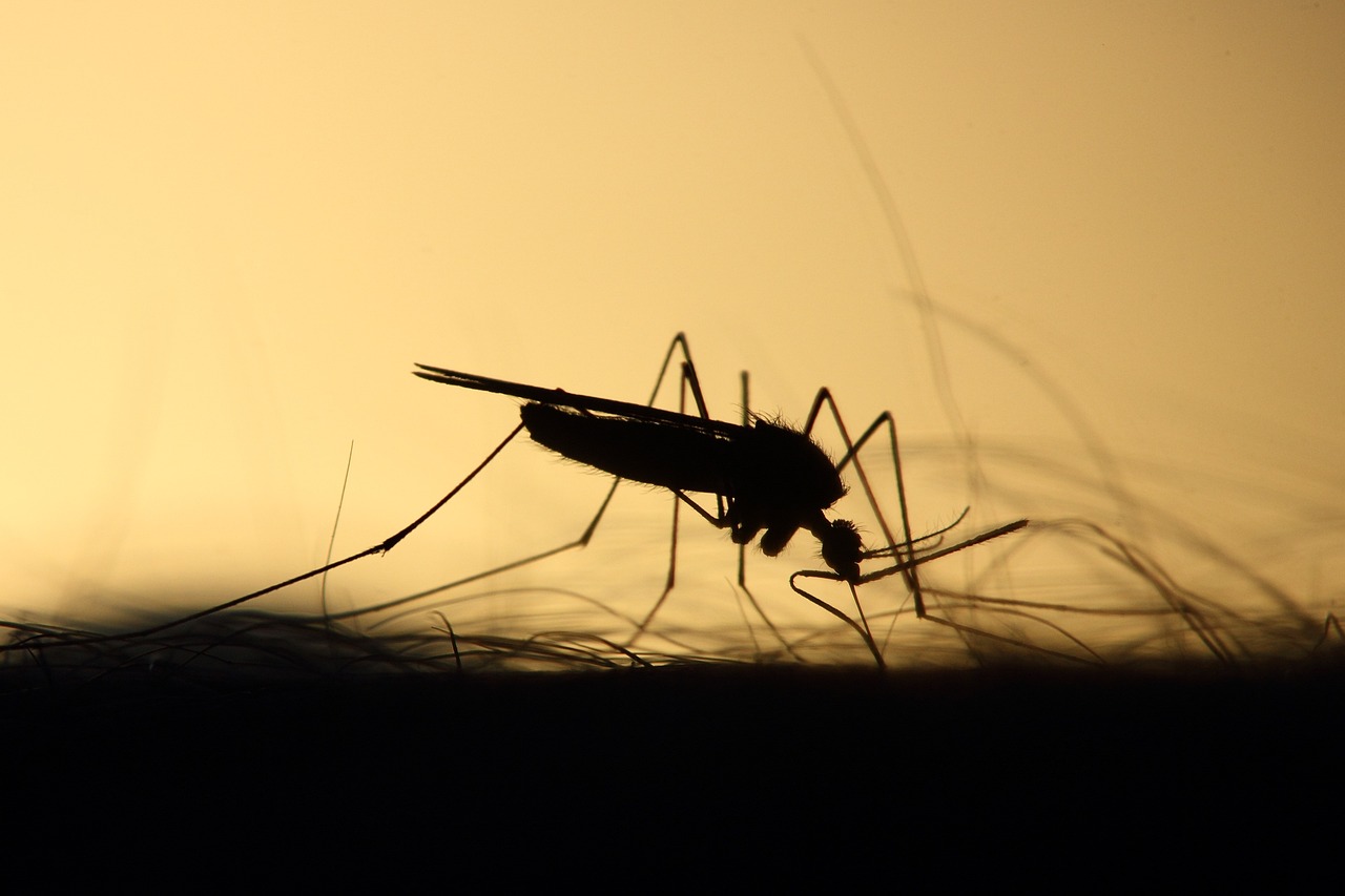
Get to the mosquitos before they harm your community
Precip brings you the data you need to prioritize the areas that need you most.
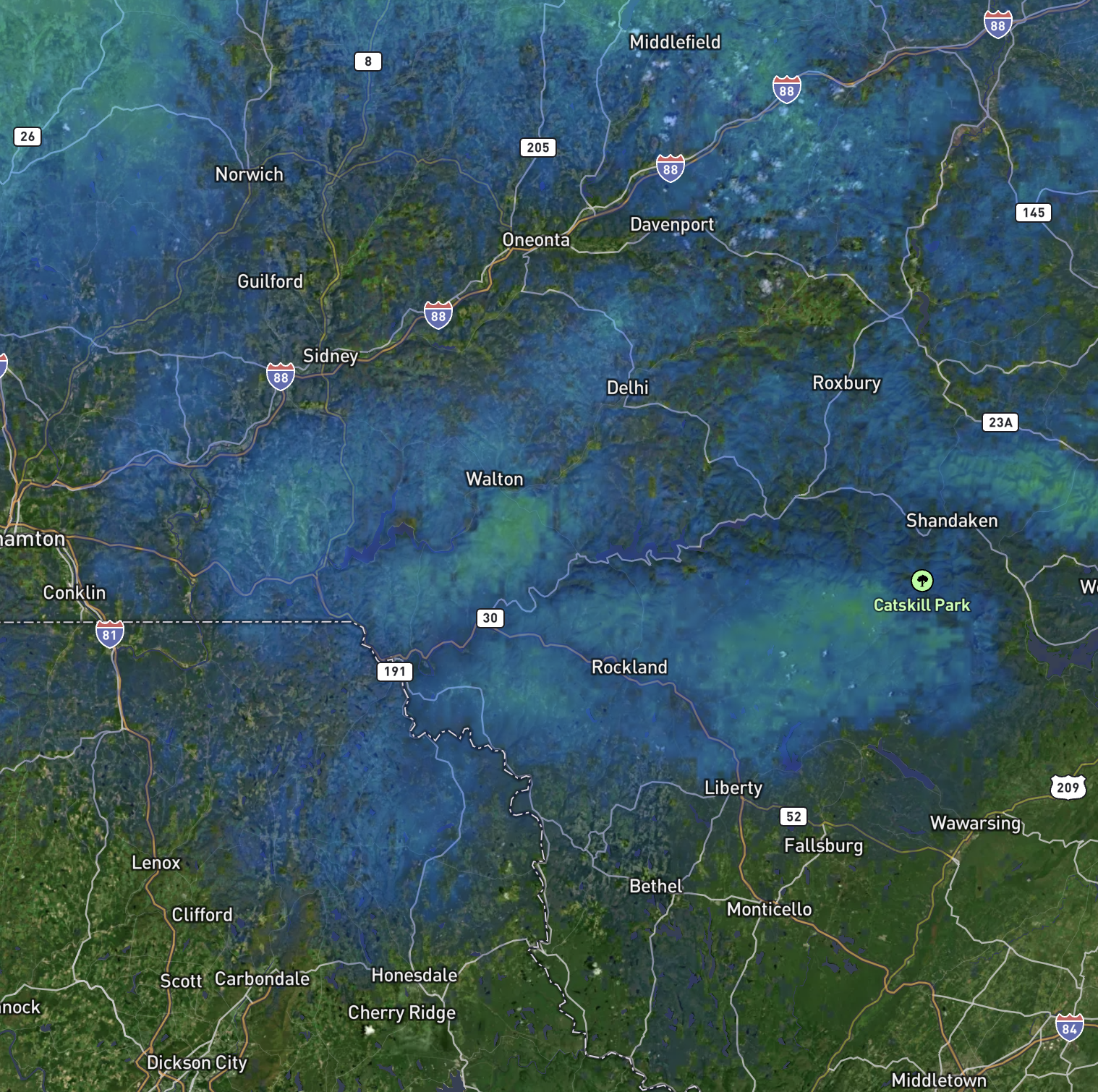
High Resolution Maps
See the data that matters most across your entire control area
Ready when you need it
Hourly updates mean you can start your day as early as you like
Bring your own data
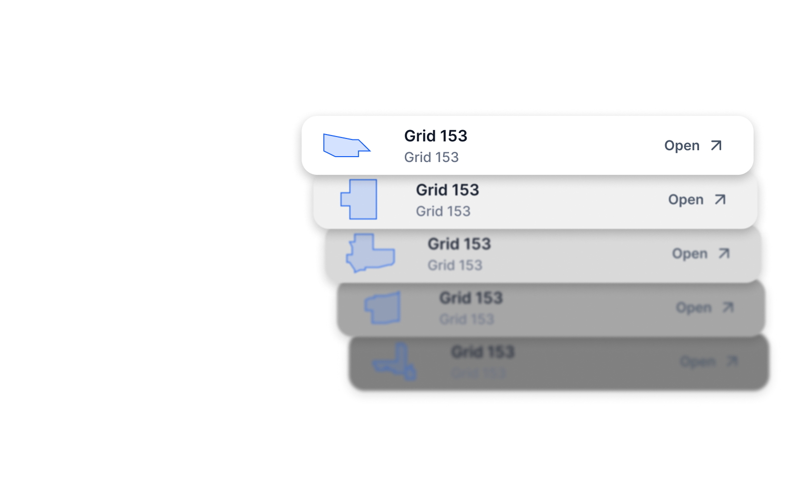
Overlay your existing GIS boundaries and areas
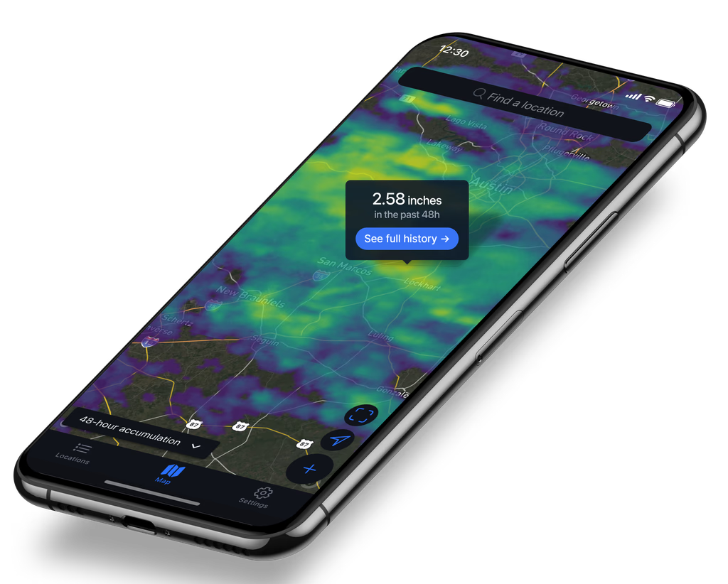
Use it in the field
Take the mobile app with you wherever you work
Pre-loaded GIS layers for lightning fast analysis
Stop hunting for data and repairing broken layers
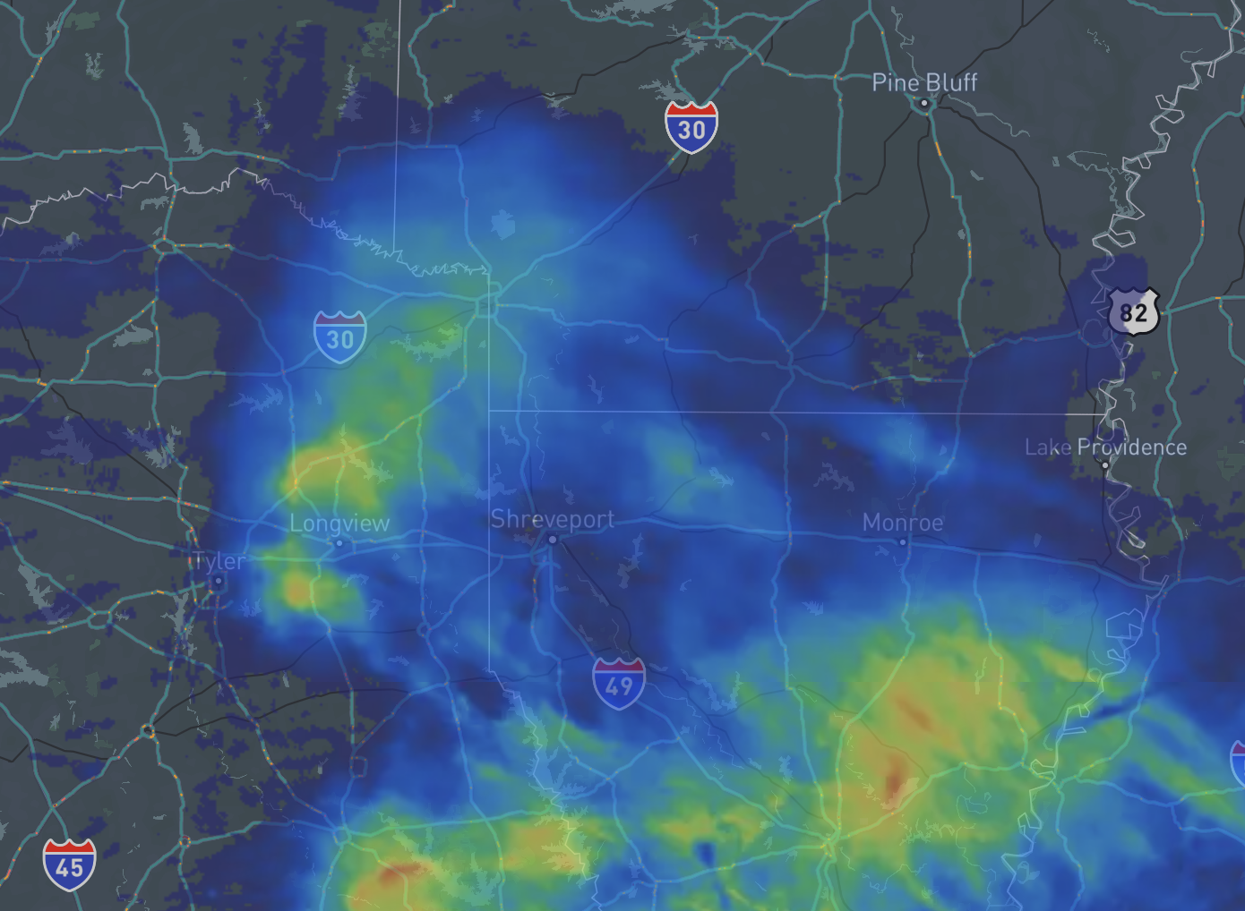
Recent rainfall
See exactly how much rain has fallen in the past 24 hours
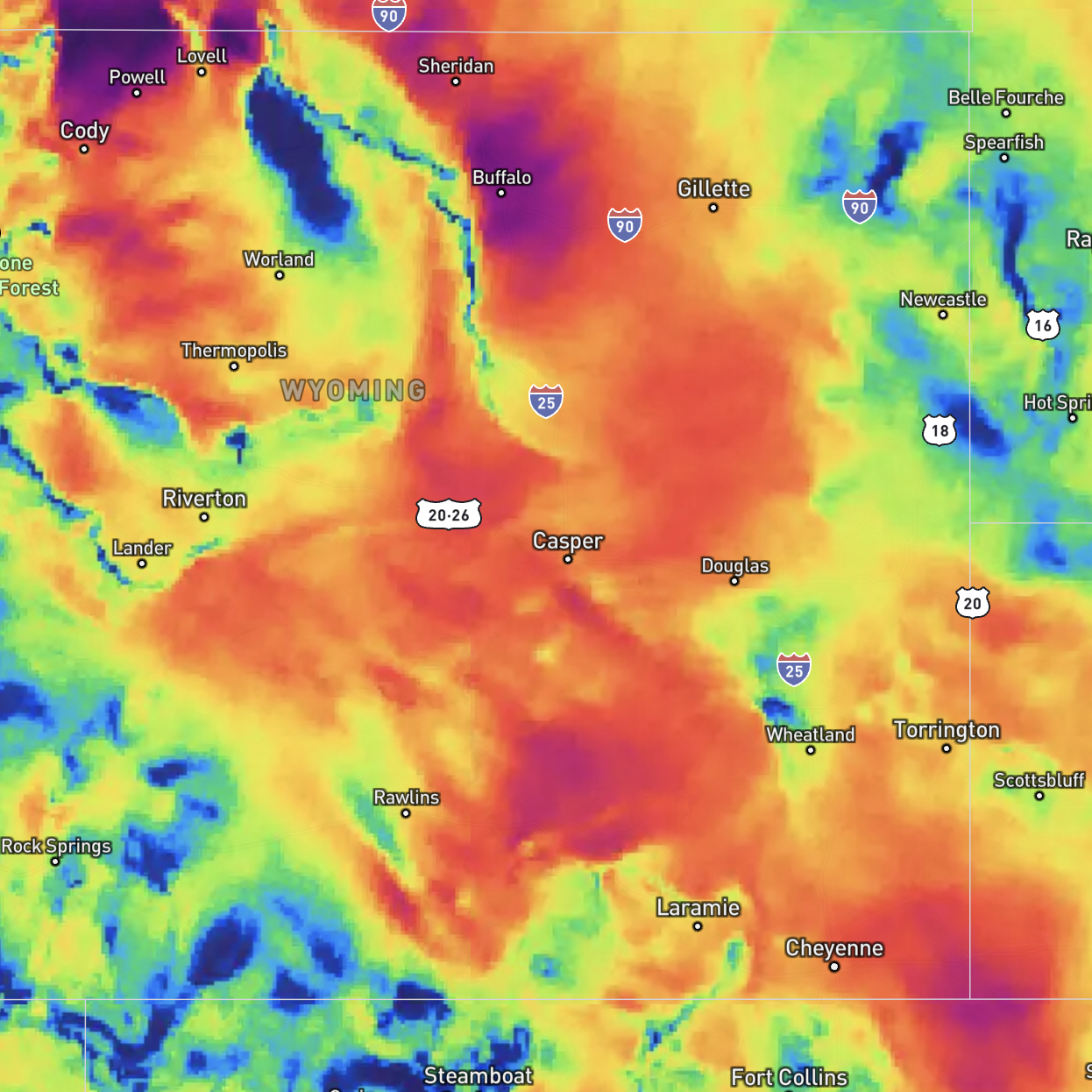
Wind speed
See what areas are too windy and where you can spray safely
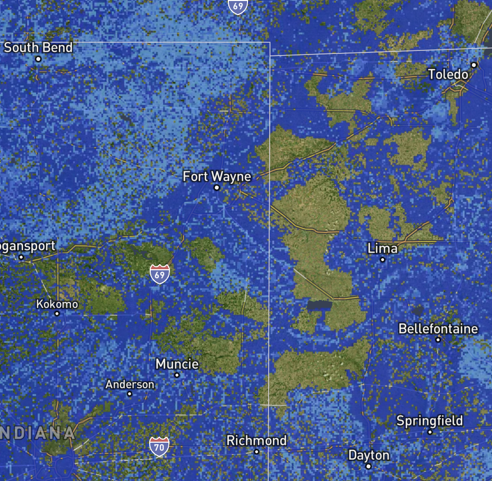
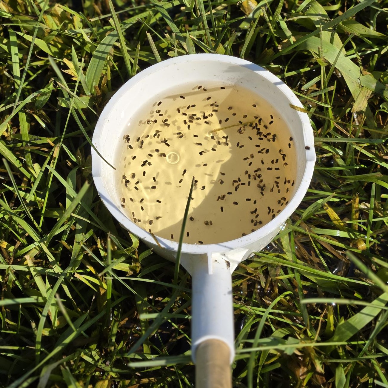
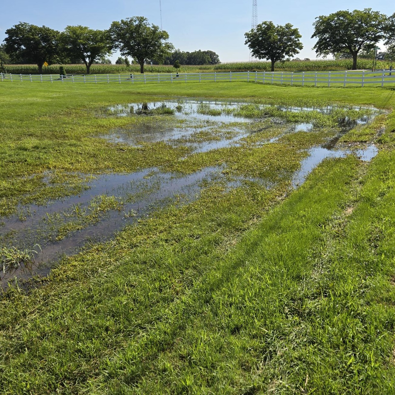
Ponding intensity
See where water is pooling and potentially breeding mosquitoes
Snow depth
See where snow is melting and potentially creating standing water
Book a demo to see it in action
Schedule a customized demo with one of our expert team members today
Available from anywhere, on any device
Browse your data and custom layers from the field or from your office.
Ditch the rain gauge
Deploy virtual gauges at all your surveillance locations with no need to manually record rainfall totals
Understand what's happening faster
Our tools combine multiple layers to give you a complete picture of what's happening in your area
Get more done with the resources you already have
Send your team to priority areas based on actual need using high resolution weather maps
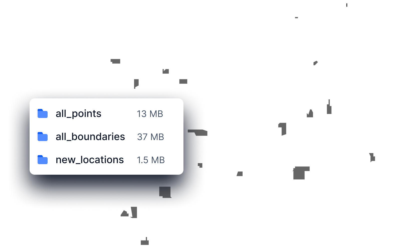
Upload shapefiles and custom locations
Bring in the GIS datasets you've already developed in-house
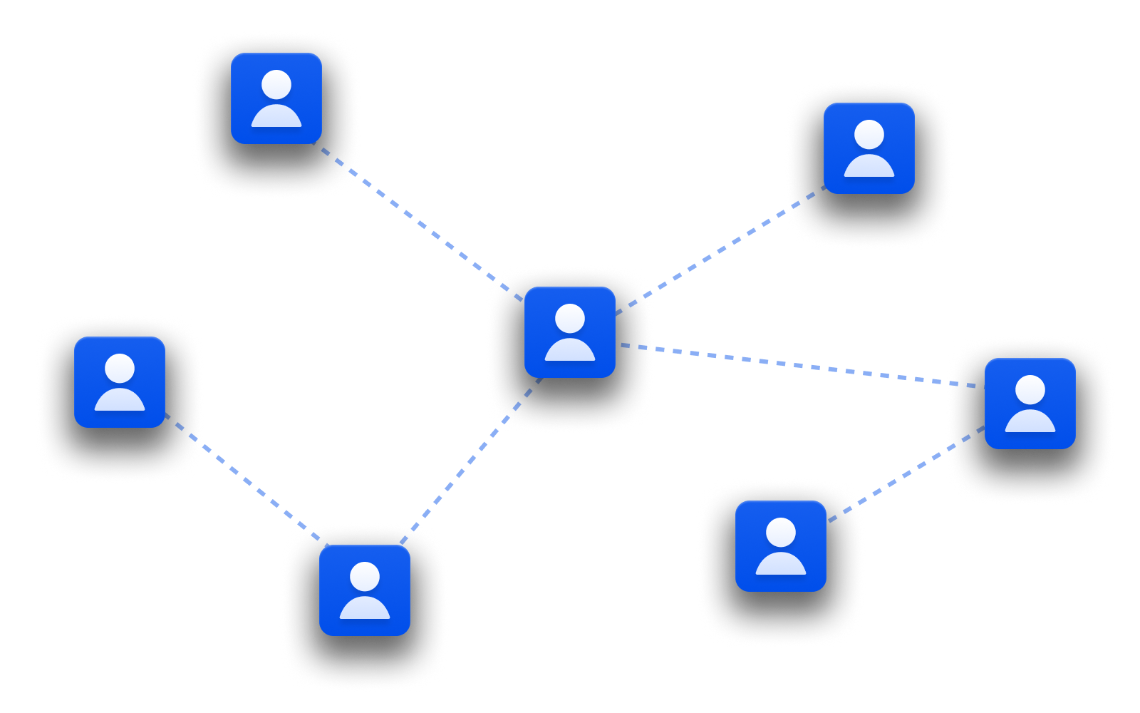
Share maps with your team
Get everyone on the same page
Generate instant reports for compliance and risk
Goodbye complex paperwork. Generate and print reports in minutes.

Embeddable precision rainfall GIS Layers
Preview recent rain totals below
See how Precip can work for you
Schedule a customized demo with one of our expert team members today